Business Intelligence Tools for Big Data. MapLarge specializes in high performance mapping and interactives that scale to Terabytes of data. Our mapping software platform is entirely dynamic. You can make changes to the data or styling and the maps and interactives will instantly update.

Mapping Large Data Sets
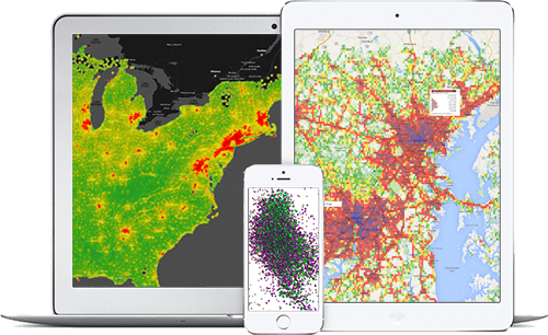
Map Thousand to Millions of Rows of Data
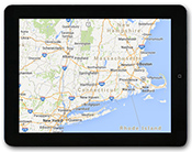
Most online mapping systems have difficulty mapping more than a few thousand records of data. Our system was built from the ground up to handle incredibly large datasets. We have helped clients analyze and map Terabytes of data.
Map Millions of Shapes or Grids
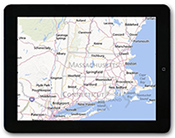
We can help you analyize your data on a level that matters to your business. For example, we can take your data and create a zip code map that is thematically shaded based on the values of each column.
Custom Geoprocessing Functions
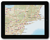
We have a number of geoprocessing functions such as a nearest neighbor analysis and can custom create any function to help you draw decisions from your data.
Fast Loading and Updating Maps
We Optimize for Milliseconds
A number of performance studies have shown that user engagement falls through the floor when web pages take too long to load. We felt that most mapping platforms on the market were too slow and caused user abandonment. We purposely built the MapLarge API from the ground up to optimize every millisecond and deliver the content to the user as quickly as possible.
Research on Map Loading Times
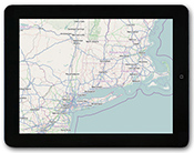
We have structured our API to deliver maps in a fast, lightweight manner. Some of our maps only add 500ms onto the base Google Maps API load time. Since all of our maps have dynamic querying capability, you can expect to see fast update times even if the system is analyzing and rendering Gigabytes of data.
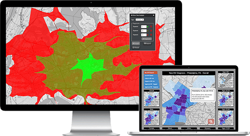
Dynamic Filtering
Query Your Data On-The-Fly
With the MapLarge API, there is no need to preprocess your data to create views for the map. You can dynamically query against any field or combination of fields in your dataset.
Geocoding
Millions of Geocodes per Hour
Since many of our clients have millions of records to analyze and map, we created a geocoder that can geocode millions of addresses in just a few minutes.
Map Shapefiles with Google and Bing Base Maps
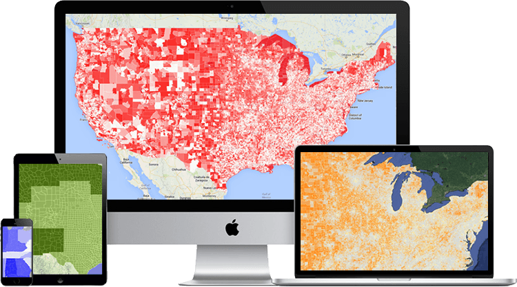
Create Maps of Your Data with Any ESRI Shapefile
If you want to create thematic maps of your data, chances are there is an ESRI Shapefile of the geography you want to represent.
Example Shapefiles
Maps using Shapefile data may be viewed at any zoom level.
- Zip Codes
- Counties & States
- Census Tracts
- Census Block Groups
- Congressional Districts
- Precincts
- Grids
- Health Care: Strategic Health Authorities (SHA) and Primary Care Trusts (PCT)
Thematic Mapping with Google & Bing Base Maps
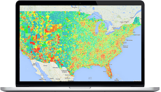
MapLarge offers a unique capability to visualize any size Shapefile and thematic map from a national level.
Color Shaded Polygons
MapLarge can help you map data that is associated with a geography. For example, sales by zip code.
Point-in-Polygon Shading
Additionally, if you have a large database of point data such as addresses that have been geocoded, we can create thematic maps of this data.
We Support Multiple Base Map Providers
We support the following providers, and other maps including WMS layers upon request:
Google Maps
Bing Maps
ESRI Maps
Open Street Maps
Mapping API for Integrations
The MapLarge API
The MapLarge API is designed to work with a CSV file that can be output from any database or enterprise data warehouse. Once the CSV file is loaded, designers and programmers can manipulate all aspects of the map from a simple JavaScript API.
Full Design Customization
Customize Each Element of the Map
Using The MapLarge API, designers and programmers can modify the color scheme, icons, border shading, text, on-hover and on-click balloons, legend, visualization by zoom level and data feeds.